Vietnam community creates digital map to improve flood response
Headline and summary by local AI
Authorities in Tay Nha Trang Ward, located in Khanh Hoa Province, Vietnam, launched a digital map to help residents navigate during floods.
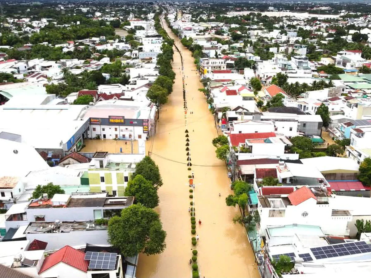
The ward was severely impacted by historic floods in November 2025, which submerged 80 percent of the area and caused extensive damage to infrastructure and crops. The interactive tool uses color-coded markers to identify 51 evacuation points, 24 high-risk flood zones, and 15 rescue stations.
Residents can access the map by scanning a QR code or using the Zalo app to view locations on Google Maps. Green markers indicate safe havens, red markers highlight areas prone to landslides or deep flooding, and blue markers show the locations of rescue forces. The map also provides navigation directions and contact information for officials in charge.
Ward chairman Nguyen Dinh Anh Minh said local military commands and agencies will update the information regularly while neighborhood groups guide residents on how to use the tool. To further improve safety, the ward established emergency response teams in each neighborhood and collected donations to buy life jackets and rescue boats. The province also approved a study for a stormwater detention basin project in the ward to provide a long-term solution.
The project, which costs more than VND584.7 billion ($22.7 million), involves building a 10.28-hectare basin and drainage channels to manage water flow into the Cai River. Construction is scheduled to run from 2025 to 2027.
Selected and summarized by local AI How we work