Drones using lasers discover hidden Aboriginal rock art shelters in Australia
Headline and summary by local AI
Researchers from the University of Sydney and the Australian Museum used drone-mounted lasers to locate three unregistered Aboriginal rock art shelters in the Blue Mountains of Australia.
The team worked alongside the Dharug Custodian Aboriginal Corporation to navigate the rugged terrain and dense bushland that typically makes searching for cultural sites difficult and expensive. The project used LiDAR technology, which sends laser pulses to create three-dimensional maps of the landscape.
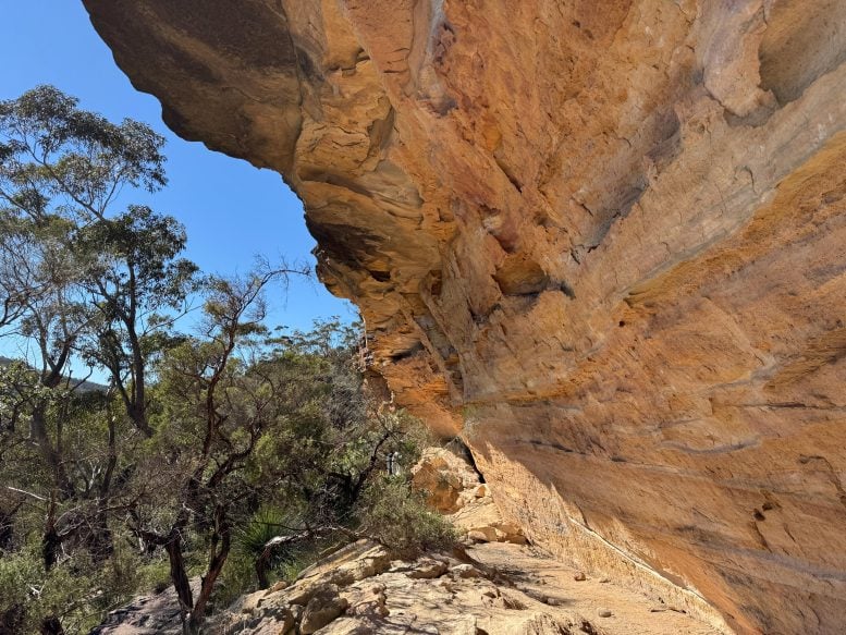
This allowed the team to see features hidden under tree cover. After the drone surveys identified potential sites, researchers and volunteers visited the locations to verify their status. They confirmed six existing registered shelters and identified three new ones containing stone artifacts and red hand stencils. The Gulamada Project combines scientific knowledge with First Nations cultural knowledge to help communities manage and protect their heritage.
The researchers provided more accurate coordinates for these sites than those currently listed in the New South Wales Aboriginal Heritage Information Management System. This method allows for faster surveys of vast areas, helping communities protect sites from threats like erosion, bushfires, or development. The team plans to work with Aboriginal communities to test this drone technology in other environments, such as the tropical savannas of western Arnhem Land and the semi-arid landscapes of western New South Wales.
Selected and summarized by local AI How we work