Brazil’s INPE Creates High-Resolution Deforestation Map for EU Compliance
Why this is here: The article highlights the INPE’s creation of deforestation data at a half-hectare resolution, a significant technical advancement made specifically to meet the demands of the EU’s new deforestation regulation and demonstrating a proactive approach to environmental compliance beyond standard monitoring efforts.
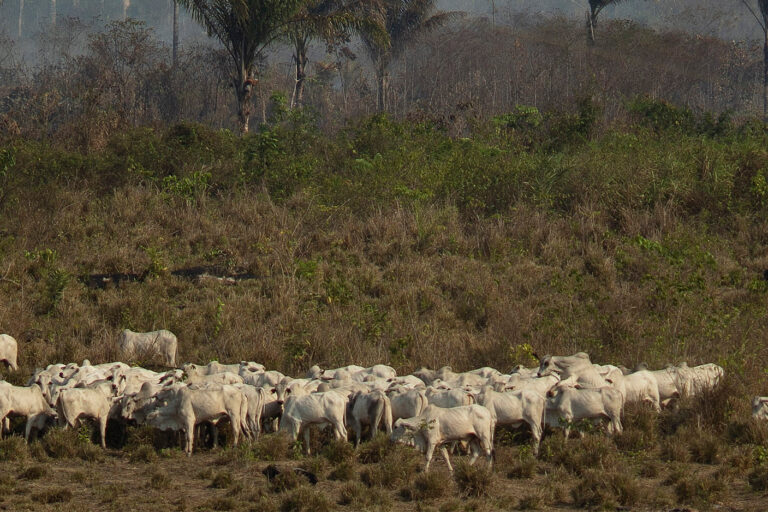
Brazil’s National Institute for Space Research (INPE) has developed a new technology to map deforestation in unprecedented detail – down to half-hectare polygons – to help exporters meet upcoming EU regulations. Beginning in late 2026, the EU Deforestation Regulation (EUDR) will require companies to prove their products haven’t come from deforested land since December 31, 2020, using geolocalized data and documentation.
The INPE addressed the challenge of cloud cover in the Amazon rainforest by creating the Brazil Data Cube (BDC), which compiles images to create cloud-free composites. This allows for accurate mapping even during the rainy season. The resulting map, created at the request of the Ministry of Agriculture and Livestock, is now available to producers through the Agro Brazil + Sustainable platform, consolidating public and private databases to generate compliance reports.
The new technology builds upon INPE’s existing Prodes system, which monitors deforestation in one-hectare areas, and offers a more granular level of detail needed for EUDR compliance. Beyond satisfying EU requirements, the platform also aims to improve access to credit for producers demonstrating sustainable practices and enhance traceability for commodities like soy, beef, and timber.