Tajikistan Maps Forests with Satellites After Decades of Uncertainty
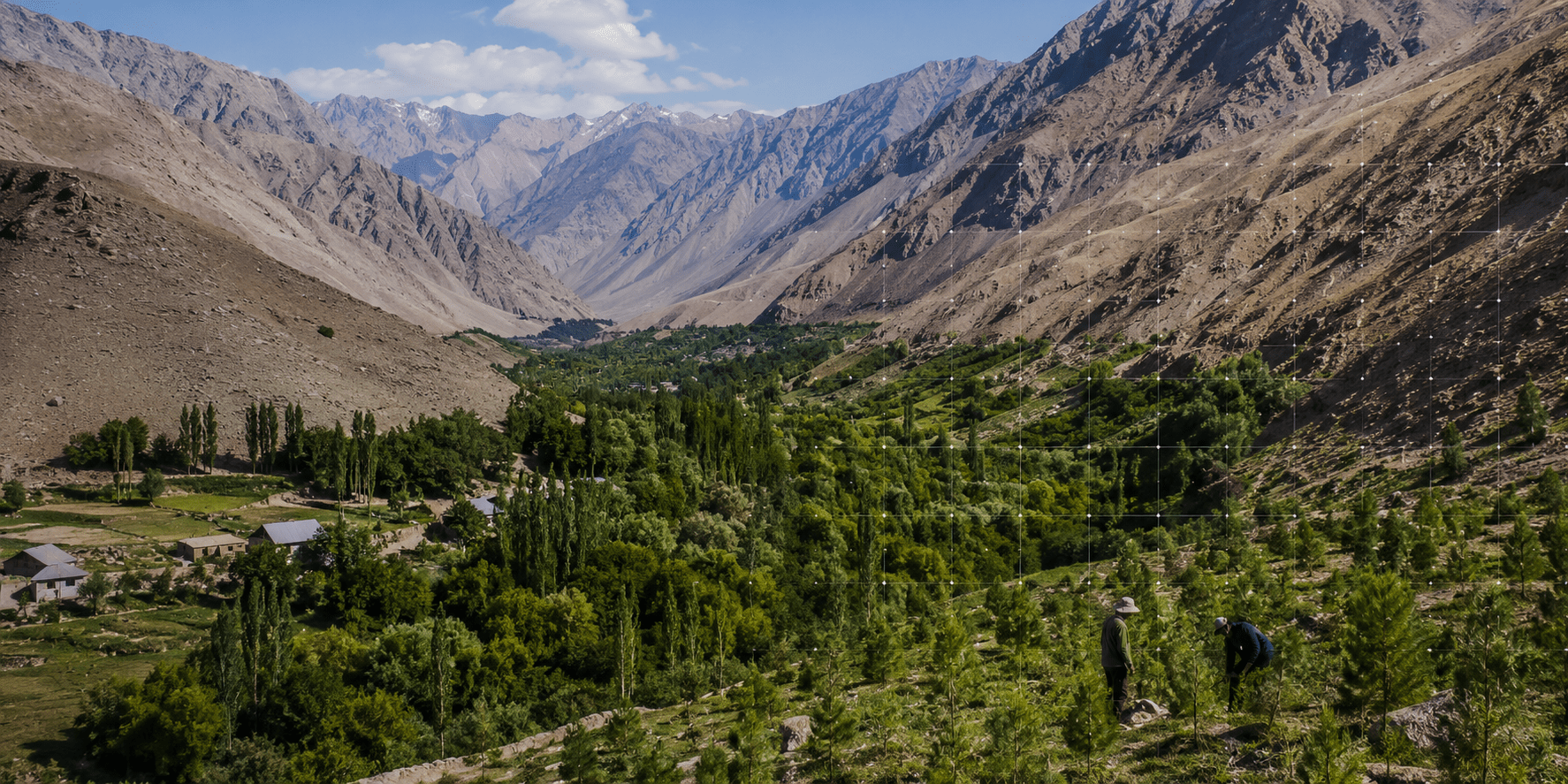
The Forestry Agency of Tajikistan, with support from the World Bank, began a national forest inventory on July 15 using satellite imagery and field inspections. For over thirty years, Tajikistan has lacked a reliable assessment of its forest cover, last conducting a full inventory in 1990. The current project combines satellite data from Sentinel-2 and RapidEye with on-the-ground measurements to classify forest types and assess tree health.
Preliminary satellite data suggests Tajikistan’s forest cover is approximately 4.7% of the national territory, a higher estimate than the commonly cited 3% or 420,000 hectares. This discrepancy is likely due to improved mapping techniques capturing previously unrecorded woodland.
The inventory will inform ten-year management plans for state forestry enterprises and help track the country’s progress toward restoring 66,000 hectares of degraded land by 2030. Local communities are also involved in restoration efforts, with initiatives like Joint Forest Management offering long-term rights to manage and use forest plots. The project is scheduled to conclude on September 30, 2027.
Surfaced by the Thriving lens — one of the vital signs ovr.news reads.
How we evaluated this
AI summary
read the original for the full story — Read on timesca.com . How we work →