Archaeologists map 2,500-year-old burial site in Belgium without digging
Summary and headline written by AI from the source article. How we work
Archaeologists in Genk, Belgium, discovered a 2,500-year-old Iron Age burial landscape using advanced ground scanning technology.
Researchers used geophysical surveys, including resistance measurements and magnetometry, to reveal circular ditches and burial mounds beneath the surface without disturbing the soil. Subsequent drilling confirmed the mounds consisted of raised sand and turf, a building technique common to the region. Some of the burial mounds contained multiple surrounding ditches, suggesting people reused and modified them over centuries.
The team determined the site was not a collection of isolated graves, but a connected, funerary landscape. This scanning method preserves fragile heritage while allowing archaeologists to pinpoint valuable structures. Genk's mayor, Wim Dries, stated the techniques make a hidden history visible without causing damage, revealing a rich and ancient past beneath what appears to be ordinary land.
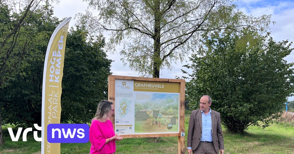
People can now explore the area through a new heritage walk called “Sporen in het Landschap - van grafheuvel tot terril” (“Traces in the Landscape - from burial mound to spoil tip”), using a free heritage app to learn about both visible and underground remains. The route will soon connect to the hiking network of the Hoge Kempen National Park.
/https://tf-cmsv2-smithsonianmag-media.s3.amazonaws.com/filer_public/f2/54/f2549862-c776-4c8d-886c-8ae438efbdc4/802777524_18348475594302071_4770168855678653748_n.jpg)